User login
Language
Anonymous's groups in this site
User is not a member of any group.
Your groups across all your sites
User is not a member of any group.
Recent Content
Who's online
There are currently 0 users online.
You are here
Thu, 2013-05-02 15:47 — admin
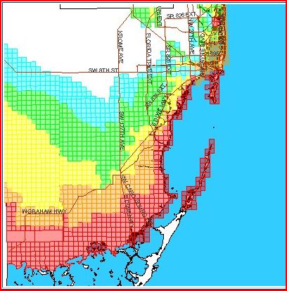
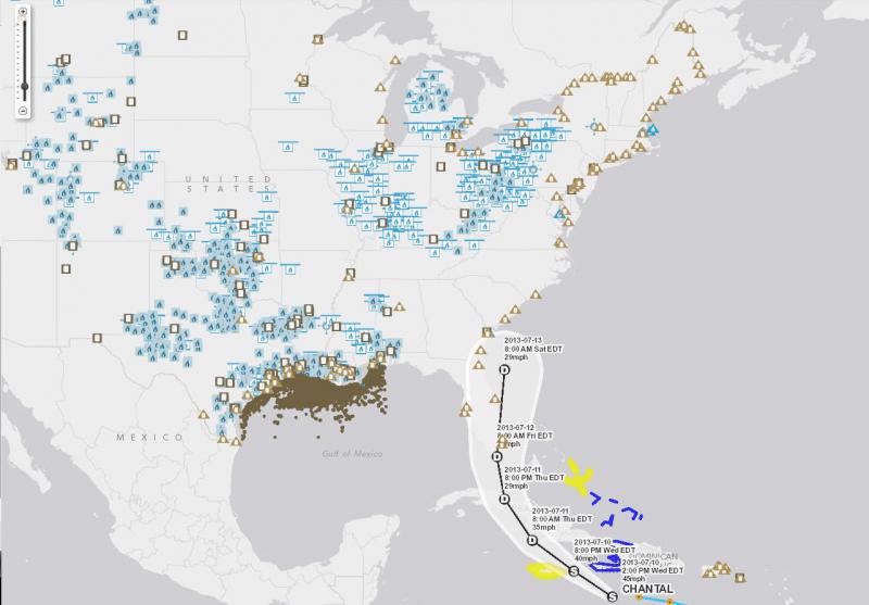
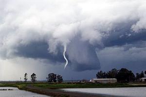
This working group focuses on hurricane history, prediction, preparedness, and response.
This working group focuses on hurricane history, prediction, preparedness, and response.
Add Content to this group
Members
| admin | Albert Gomez | Miles Marcotte |
Email address for group
hurricanes-sfl@m.resiliencesystem.org


Recent Comments